Many dry weekend hours, heightened severe storm risk Sunday
By Warren Sears
Published on April 25, 2026.
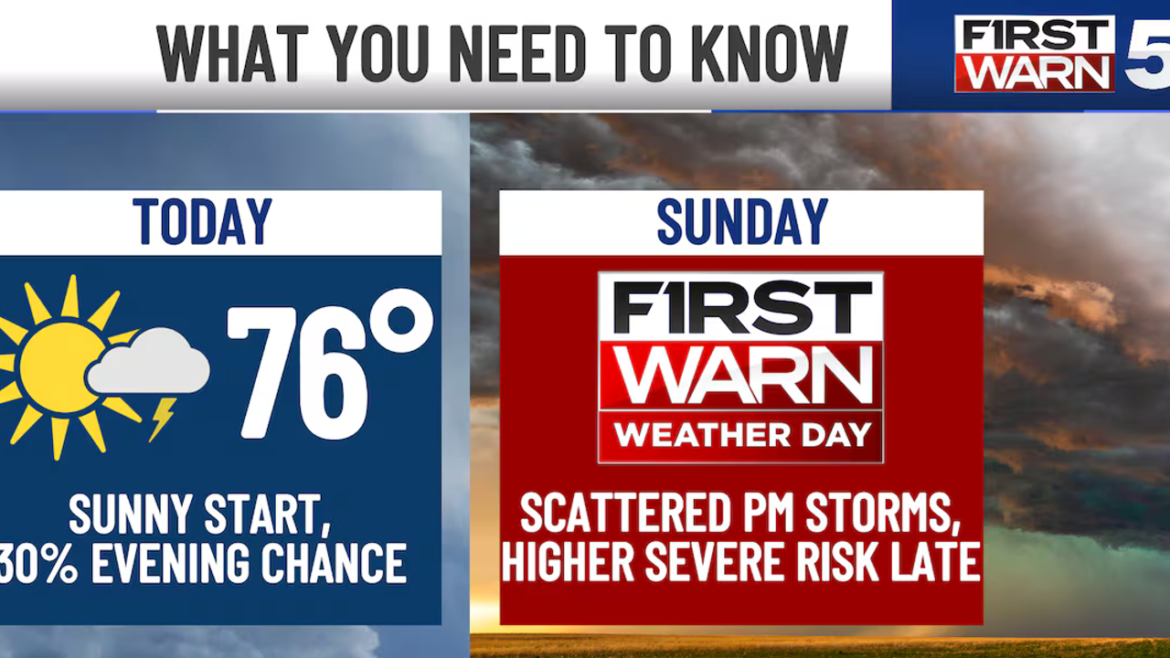
A First Warn Weather Day is in place for Sunday evening, with a Level 3/5 severe weather risk in place, with strong straight-line winds, large hail and isolated tornadoes possible. The main threat arrives late Sunday evening into early Monday morning, potentially between 11pm and 4am. The weather outlook for Saturday is expected to be largely dry, with temperatures reaching the 70s. However, there is a small chance of a random pop-up shower or quick thunderstorm into the evening, but no major impacts are expected. The more significant threat comes late Sunday night as supercells form over central Kansas and move eastward.
Related Articles

Final April weekend brings the heat for Portland
The final weekend of April is marked by high temperatures, abundant sunshine, and low moisture, with seasonal highs expected to last until late May.

April showers bring May flowers; Rain surplus meets sunny forecast
Despite a surplus of rain and dry weather, the Willamette Valley is set for another sunny week with high temperatures and strong winds.
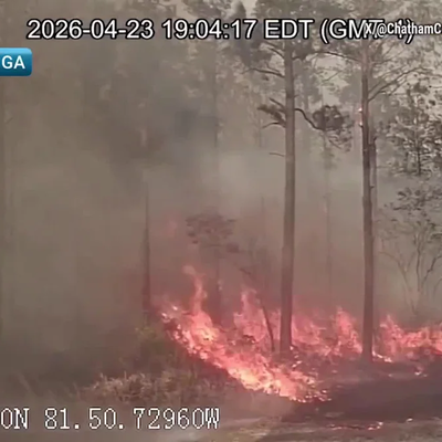
Wildfires Ravage Southeast As Drought Increases
The severe drought in the Southeast has led to numerous wildfires, requiring extensive investigation by authorities, with temperatures reaching nearly 20C (86F) in November.