Strong to severe thunderstorms possible today and Monday night
By Lisa Spencer
Published on April 24, 2026.
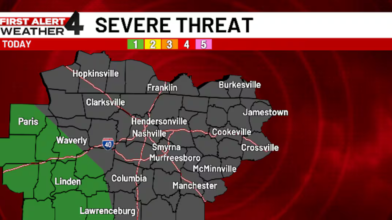
Strong to severe thunderstorms are possible for today and Monday night, with the main threat being west of I-65, which is the best area to expect heavy rain and damaging wind gusts late in the day. While there is no threat of tornadoes or hail, stay prepared for possible severe weather. Monday is a First Alert Weather Day due to the risk of strong-to-severe thunderstorms, with threats of isolated tornadoes, hail, and damaging winds. The most likely timing for these storms is west of the interstate, with most likely to occur overnight Monday and possibly early Tuesday morning. The weather outlook for the rest of the Midstate will be mostly dry and mostly cloudy with highs near 80 during the day, followed by a strong storm system.
Related Articles

Partly cloudy Saturday with rain chances increasing for Sunday
A low-pressure system will bring rain and cool weather to the Northern Plains, with rain expected across the region, but seasonably cool temperatures remain.
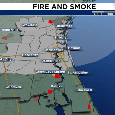
Extreme drought worsens despite weekend rain chances
High pressure will continue to dry out parts of Jacksonville, with limited rain and severe smoke affecting visibility and air quality.
Warm weekend ahead, but summer-like heat expected next week
A warm, humid day ahead of Christmas will see high temperatures, but still significant changes in outlooks for the coming weeks.