Taos-area utility taps AI and drones to confront wildfire risk
By John Miller
Published on March 14, 2026.
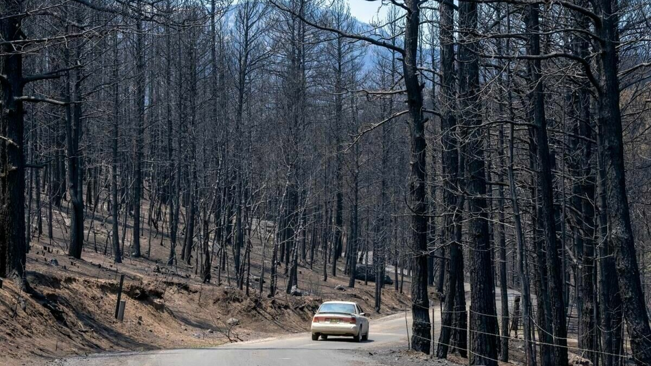
Kit Carson Electric Cooperative in Taos, New Mexico, is using AI and drones to monitor wildfire risk and reduce potential wildfires caused by downed power lines. The cooperative is participating in a pilot program for AI-based wildfire software created by Firescape, an Albuquerque company that uses machine learning to map wildfire risk across vast landscapes. The company is harvesting data from satellites and weather stations to assess key factors such as wind speed and relative humidity. It then provides models to public utilities, which can then pinpoint priority locations for long-term fire mitigation projects. Kit Carson serves three counties: Rio Arriba, Colfax and Taos. The area is home to two of the state’s highest-risk firesheds, or areas most prone to severe wildfire, according to the 2022 Community Wildfire Protection Plan.
Related Articles

Use BetMGM Casino bonus code NJCOM (or (PENNLIVE in PA) to get elusive no deposit bonus
The BetMGM Casino bonus code NJCOM or PENNLIVE offers a free $25 no deposit bonus and a 100% deposit match, ideal for newcomers and experienced players.
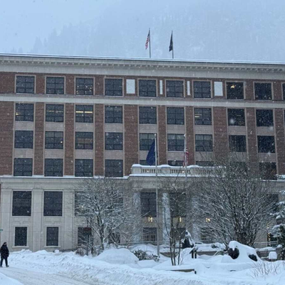
In Alaska’s topsy-turvy House, legislators are at odds over how much to bank on the Iran war
Alask legislators are divided over whether to spend from savings on the Iran war, amid forecasts of $500 million in oil revenue boosts infrastructure and federal funding.
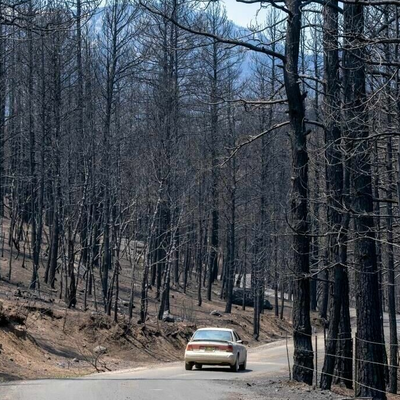
Taos-area utility taps AI and drones to confront wildfire risk
Kit Carson Electric Cooperative is deploying AI-based wildfire risk management technologies, using drones and drones to reduce wildfires and enhance public safety and sustainability in New Mexico's high-risk areas.