ASU scientists use lasers in search for clues about shrinking snowpack
By Shi En Kim
Published on March 31, 2026.
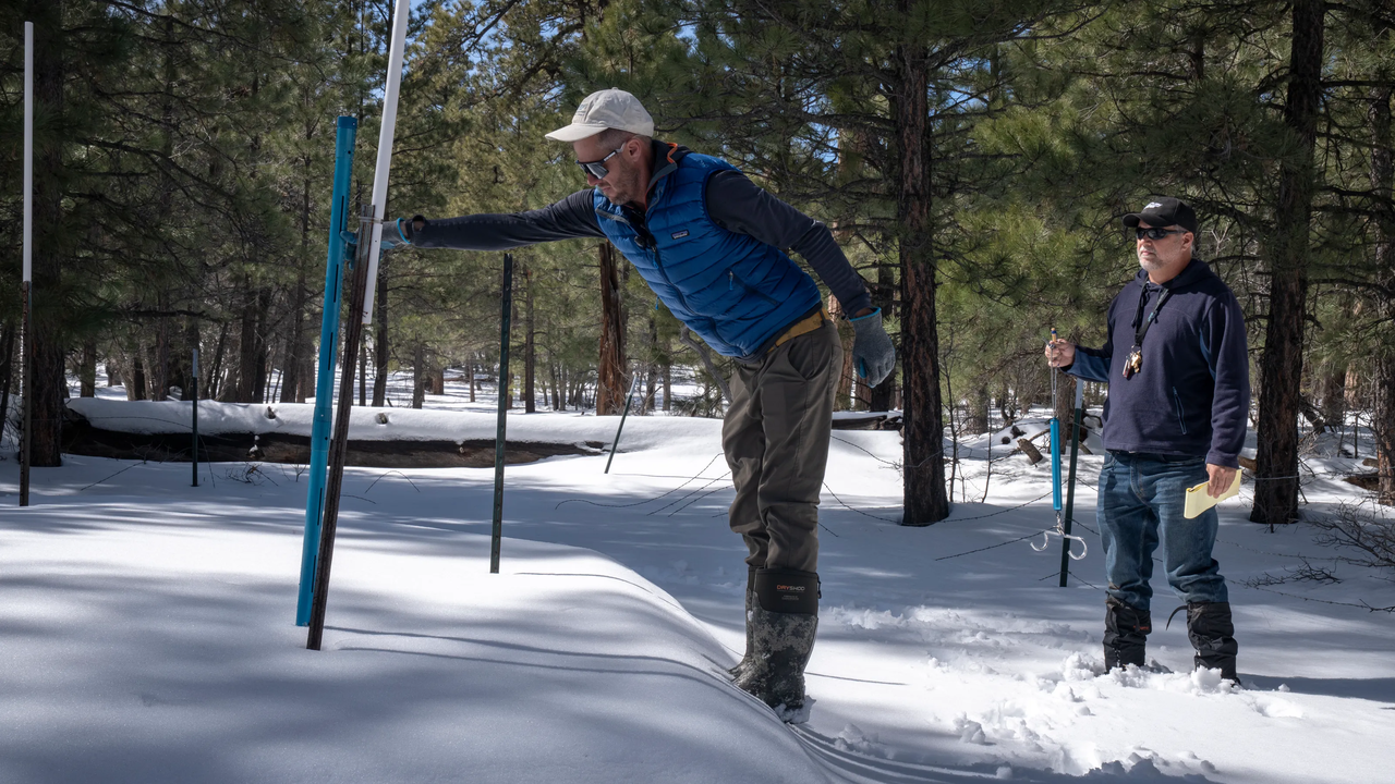
A study by Arizona State University has revealed that most of last winter's snowpack in the White Mountains in eastern Arizona had already melted by mid-March, leading to the first aerial mapping of an entire watershed in Arizona. The study used laser technology to measure the topography of the snow-covered terrain in the Upper Black River watershed. The results hold implications for water management of the Salt River system, which supplies 2.5 million people in the Phoenix metropolitan area. Researchers attributed the shrinking snowpacks to a warming climate, which is predicted to reduce stream flows. Researchers hope to develop hydrological models for predicting snowmelt-driven stream flows, which will guide downstream decisions on storage or release water from reservoirs.
Related Articles

Why two major fusion energy companies are teaming up
Commonwealth Fusion Systems and Realta Fusion are partnering to develop high-temperature superconducting magnets for commercial fusion, aiming to meet energy needs of AI data centers.
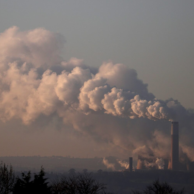
Britain's greenhouse gas emissions fell 2% in 2025
Britain's greenhouse gas emissions fell by 2% in 2025 to around 38,000 units, with industry-related losses estimated at around 40,000%.
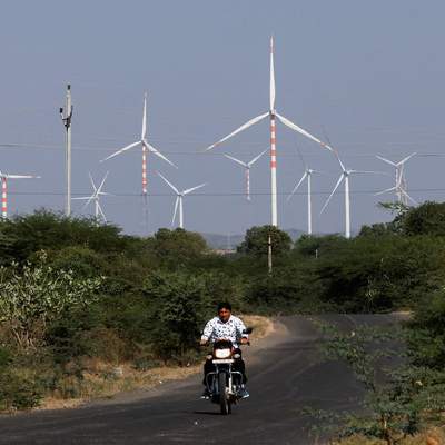
India to increase penalties on wind and solar generators for deviating from supply pledges
India will increase penalties for wind and solar generators for violating supply pledges, starting April 2027.