Strong cold front brings big changes to our temperatures
By Scott Sumner
Published on April 18, 2026.
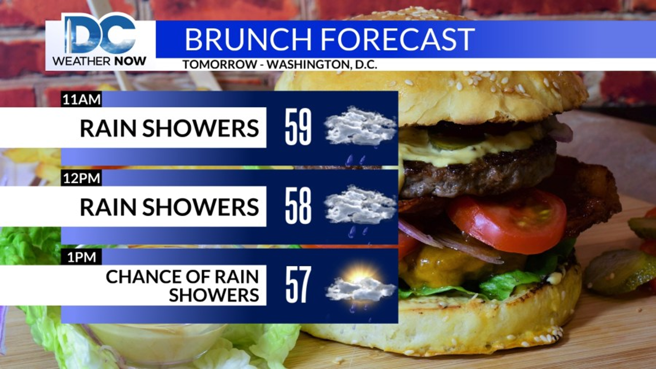
A strong surface cold front will cross the DMV into Sunday morning, leading to wet weather overnight through Sunday morning. However, this is expected to change, with a few strong or severe thunderstorms expected to occur along and west of I-81. The Storms Prediction Center (SPC) has a Marginal Risk (level 1 of 5) for these areas, while a Slight Risk (Level 2 of 5), is also possible for far western Maryland. The main threat with any storm tonight would be gusty winds, but this is dependent on if storms over the Ohio Valley band together. As the cold front passes, afternoon temperatures will remain 15 to 25 degrees cooler than this afternoon. Another cold front is expected later this week, but with little moisture to work with, rain will be sparse.
Related Articles

Low 80s return Monday after a mostly sunny Sunday with a high of 75
Athosos, or simply "We're down" for a day, is predicting sunny, though slightly less sunny, with temperatures expected to rise later.
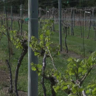
'They might be goners': Nebraska winery could lose crops in April cold snap
A cold snap could lead to significant crop losses in Nebraska, potentially leading to significant losses in winery operations like Cellar 426 Winery's 126th WINERY.
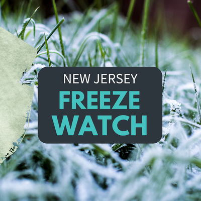
Freeze watch issued for 16 counties. Rain, much colder temperatures in N.J. forecast.
A freeze watch is in effect for 16 counties in New Jersey due to heavy rain and colder temperatures, with potential for flooding.