Wetter and cooler weather pattern is here with two storm taking aim at parts of Utah
By Cedric Haynes
Published on April 1, 2026.
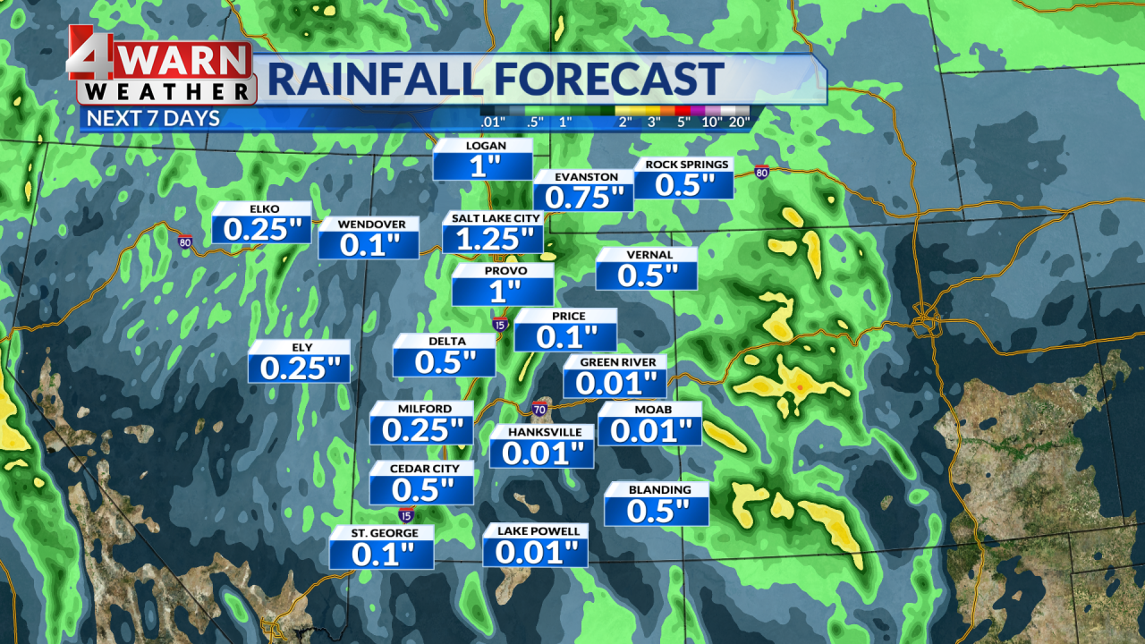
Snow continues to fall at the highest elevations in Utah, with Winter Weather Advisories in effect for the Northern, Central and Southern mountains until noon. Another system is set to move into the area from the northwest and will deliver another round of widespread precipitation and colder air allowing snow levels to tumble. Snowfall amounts are expected to reach 6-12″ for our northern mountains, with lesser amounts expected for our central and southern mountains. The potential for lake effect showers could impact parts of Davis, Salt Lake and Utah County. The cold overnights will follow the cold front, potentially causing sensitive vegetation to be at risk, as many plants and trees saw early blooms due to their historic heat. Once the storm systems end, look for a colder day with below average temperatures across Utah.
Related Articles
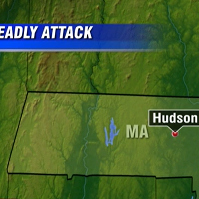
29-year-old accused of attacking several family members with skateboard, killing his grandmother in Hudson
A 29-year-old man, Devin Dube, was arrested for killing his grandmother with a skateboard in Hudson, Massachusetts, on Tuesday.

Timeline For Thunderstorms Released As Wild Temperature Swings In CT Forecast
The National Weather Service predicts showers and thunderstorms in southern Connecticut, with potentials increasing as temperatures drop, but remains warm and dry throughout the week.

March 2026 hits records as hottest in Denver weather history
March was the hottest in Denver history, breaking numerous heat records, and predicting drier spring conditions.